

Xoople just raised $130 million in Series B funding. The stated mission: map the Earth for AI systems. What that actually means matters — and where the money goes matters more.
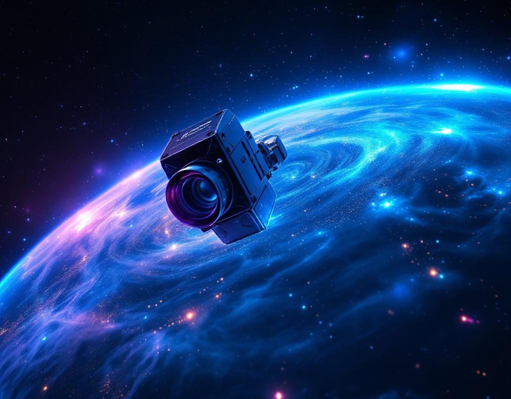
The funding round positions Xoople to scale satellite imagery collection and processing at a speed most geospatial companies haven’t attempted. But this isn’t about prettier maps. It’s about training data infrastructure for computer vision models, localization systems, and autonomous systems that need constantly refreshed, high-resolution Earth imagery.
The L3Harris Deal: Hardware as Moat
Xoople announced a concurrent partnership with L3Harris Technologies to build the sensors for its spacecraft. This is the operational detail most coverage will gloss over — and it’s why the funding actually matters.
Building custom sensors in-house (or through a dedicated OEM partnership) does two things:
- Locks in a specific technical stack for imagery collection, making it harder for competitors to replicate Xoople’s data quality and refresh cadence
- Creates a hardware dependency that turns satellite operators into something closer to a vertically integrated platform
You don’t partner with L3Harris, a $18B defense contractor with deep sensor expertise, unless you’re planning to operate at serious scale. This isn’t a “we’ll use off-the-shelf components” move.
Why AI Systems Need This
The premise is straightforward: most computer vision models trained on static satellite imagery from 2021–2023 are already degraded when applied to 2026 real-world data. Cities change. Infrastructure shifts. Vegetation patterns drift seasonally. Models trained on old imagery hallucinate or misidentify features in updated contexts.
Xoople’s value proposition is continuous, high-cadence Earth observation — imagery fresh enough that autonomous systems, logistics platforms, and climate modeling tools can train and deploy without the lag that currently exists between satellite pass and usable data.
The real customer here isn’t a government agency (though governments will buy). It’s AI companies building autonomous vehicles, robotics systems, climate forecasting models, and supply chain optimization tools that need ground-truth data updated on a schedule measured in days, not months.
What $130M Actually Buys
Series B at this scale in the space sector typically funds:
- Satellite constellation deployment (multiple units, not a prototype)
- Ground station infrastructure and data processing pipelines
- Commercial operations and regulatory compliance across multiple jurisdictions
- Sales and customer engineering for enterprise buyers
Xoople’s funding sits in the middle tier for space-based data companies — enough to build something real, not enough to compete with the $2B+ valuations of Maxar or Planet Labs on scale alone. That suggests a narrower wedge: very high-resolution, very fresh imagery for AI training use cases rather than broad geospatial intelligence.
The Timing Signal
This round closes in April 2026, a moment when AI model training pipelines are genuinely constrained by data quality and freshness. The computer vision and robotics companies that raised heavily in 2023–2024 are now hitting the wall: their training data is stale, their models plateau, and synthetic data only gets you so far.
Xoople’s timing suggests Series B investors believe there’s a genuine market demand for Earth observation infrastructure built specifically for AI training workflows — not for traditional intelligence, agriculture, or urban planning use cases.
What to Actually Watch
Don’t measure Xoople’s success by constellation size or annual imagery volume. Watch customer acquisition velocity and data freshness guarantees.
The question that matters: Can Xoople deliver imagery fresh enough that companies training computer vision models see measurable accuracy improvements over using public satellite datasets? If yes, the funding makes sense and more will follow. If customer adoption stalls because the imagery isn’t actually fresher or better than existing alternatives, this becomes another well-capitalized space company burning through cash.
The L3Harris partnership is a real differentiator. Custom sensors + consistent launch cadence + AI-focused data processing pipeline = something existing geospatial companies aren’t set up to replicate quickly. But execution on getting satellites operational and imagery into production is where this gets tested.
Follow Xoople’s announcement of its first full constellation deployment and first published refresh rate metrics. That’s when the investment thesis becomes measurable.